Unearthing the Ancient Geology of Kangaroo Island
Posted on
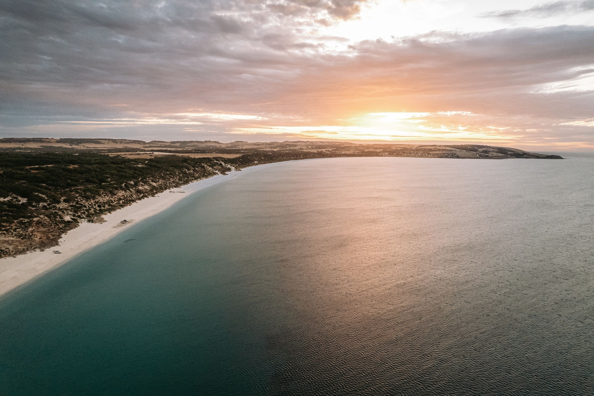
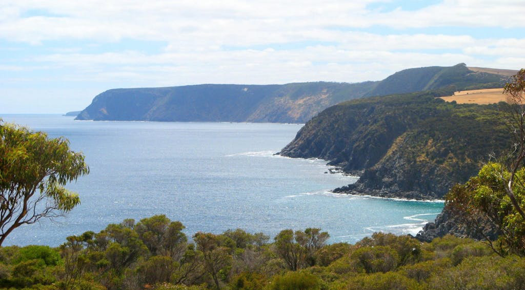
Kangaroo Island is famous for its wildlife and wild beauty — but beneath its surface lies a geological story that stretches back hundreds of millions of years. From dramatic coastal cliffs and sweeping sand dunes to ancient cave systems and layered rock formations, the island’s landforms are more than just scenic — they’re a direct link to the prehistoric past.
Long ago, Kangaroo Island wasn’t an island at all. It was part of the supercontinent Gondwana, located deep inland rather than along a coastline. Over time, shifting tectonic plates, erosion, and sea level changes helped sculpt the rugged and diverse landscapes we see today. As you wander the island — whether along the clifftops, through limestone caves, or across inland plains — you’re quite literally walking across a geological time capsule.
Christmas Cove: A Window into Kangaroo Island’s Ice Age Past
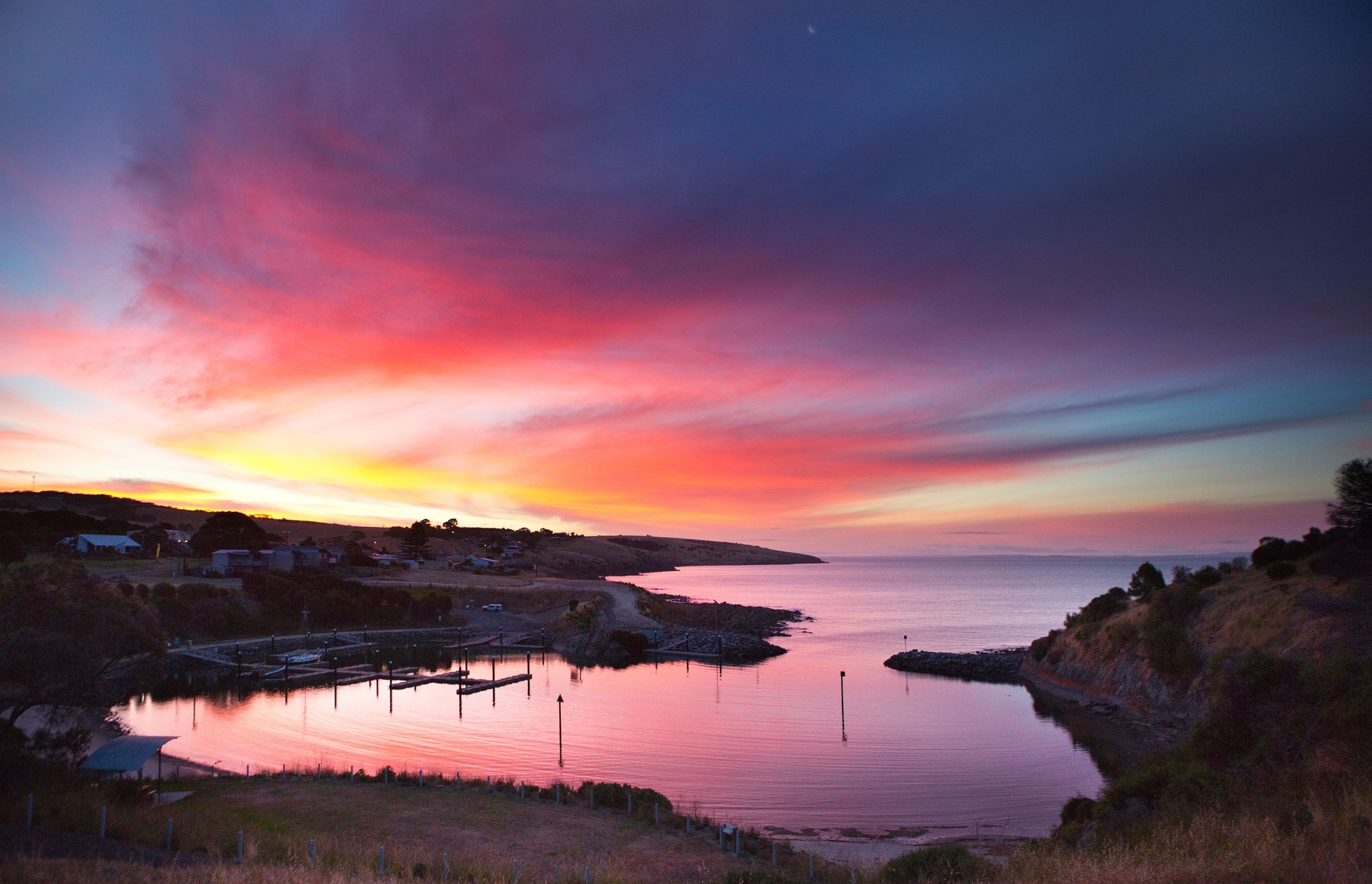
Nestled on the western edge of Penneshaw, the sheltered waters of Christmas Cove may appear tranquil today — but they hold a dramatic geological history. Surrounded by 20-metre-high bluffs, this small boat harbour is one of Kangaroo Island’s most significant geological sites.
Here, you’ll find Palaeozoic glacial erratics — large rocks scattered across the beach, carried and deposited by ancient glaciers over 250 million years ago. These stones were picked up from distant origins and dropped as the glaciers retreated, leaving behind visible traces of their journey. Look closely at the cliff face and you may spot deep ice scratches, etched by moving ice during the last great ice age. One of the granite boulders left behind now serves as a monument to Captain Matthew Flinders, blending the island’s natural history with its maritime past.
Emu Bay: A Fossil Hunter’s Dream on Kangaroo Island
Emu Bay isn’t just a beautiful beach — it’s one of Australia’s most remarkable fossil sites. The dark grey shale found here dates back around 500 million years to a time when the seafloor was alive with ancient marine creatures. This stretch of Kangaroo Island preserves an extraordinary window into Earth’s distant past.
Over 50 species of trilobites — extinct sea creatures that once thrived in Cambrian oceans — have been uncovered near Emu Bay, making it one of the most important sites for Cambrian fossils in the world. The most frequently discovered is Redlichia, a large trilobite often found in excellent condition. Fossils of the giant predatory Anomalocaris, a distant ancestor of modern crayfish, have also been identified here.
While the area is of great scientific interest, it’s important to respect the natural environment — fossils should always be left in place. To see these incredible finds up close, the South Australian Museum in Adelaide offers an impressive collection from Emu Bay.
Remarkable Rocks: Kangaroo Island’s Most Iconic Landmark
Standing dramatically above the churning waters of the Southern Ocean, Remarkable Rocks is one of Kangaroo Island’s most recognisable natural attractions. This striking collection of sculpted granite boulders sits 200 metres above sea level, balanced atop a windswept cliff in Flinders Chase National Park.
Their origins date back an astonishing 500 million years to a time when Kangaroo Island was still part of the ancient supercontinent Gondwana. During this period, molten magma pushed through the Earth’s crust and cooled into granite. Over millennia, weathering by wind, rain and salt carved the granite into the surreal, hollowed-out forms you see today — nature’s own sculpture gallery.

The orange tinge covering the rocks is a lichen that thrives in this exposed environment, adding to their photogenic appeal. If you look closely, you might notice darker areas made from Cambrian rocks — including minerals like black mica, quartz and feldspar — into which the granite once intruded.
Whether you’re walking the Kangaroo Island Wilderness Trail or visiting on a day tour, stopping at Remarkable Rocks is an unforgettable experience and a must for geology lovers and photographers alike.
Little Sahara: Kangaroo Island’s Inland Desert of Sand Dunes
Kangaroo Island may be known for its rugged coastlines and native wildlife, but tucked just a few kilometres from the southern shore is an unexpected landscape — the sweeping sand dunes of Little Sahara.
Over the past 700,000 years, sea levels have dropped and risen multiple times, with at least eight known periods where Kangaroo Island was connected to mainland Australia. During these times, powerful winds pushed vast quantities of fine-grained sand inland across the exposed coastal shelf. This natural process sculpted expansive dune fields that still shape the island’s southern and western regions today.
Most of these dunes have long since stabilised under native vegetation, but three key dune systems remain exposed. The most well-known of these is Little Sahara, located roughly four kilometres inland. Spanning around 2.5 square kilometres, this privately owned site is home to mobile dunes — the tallest of which rises to approximately 70 metres above sea level.
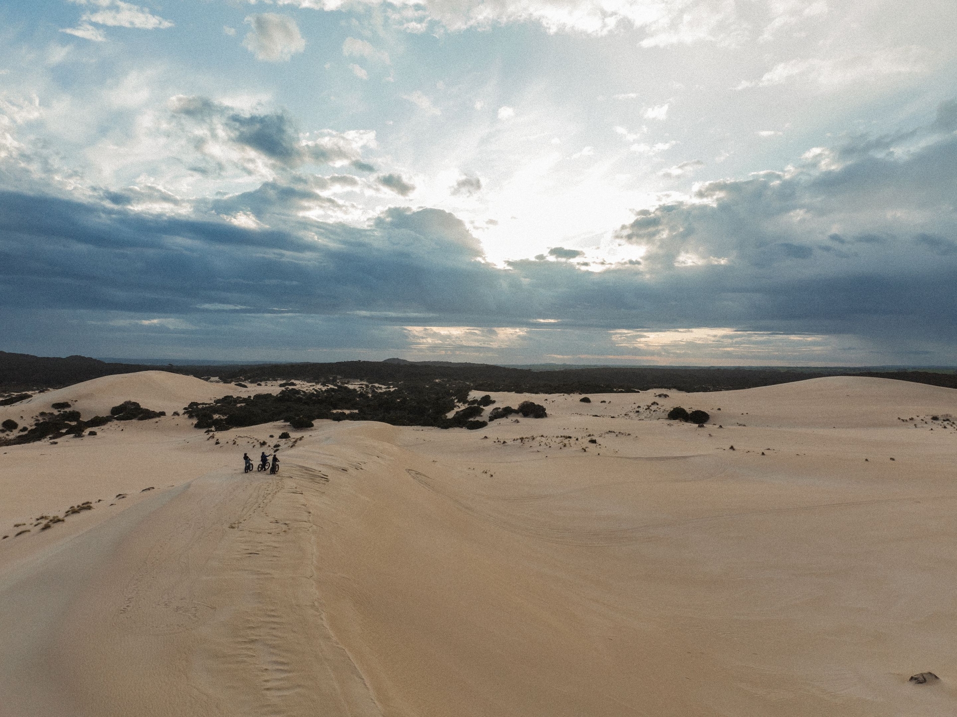
The brilliant white sands, rich in calcium carbonate, create a stark contrast with the surrounding coastal scrubland. This mineral composition also makes it difficult for deep-rooted trees to establish themselves, helping preserve the desert-like appearance. Due to its geological significance, Little Sahara was designated a Significant Australian Heritage Geological Monument in 1979.
Whether you’re interested in natural history or seeking an adrenaline rush with sandboarding or tobogganing, Little Sahara is one of Kangaroo Island’s most unique landscapes — and a must-visit for curious travellers.
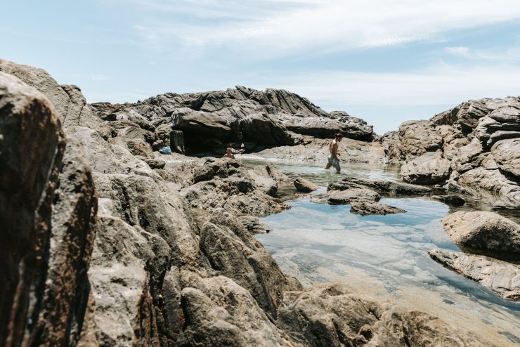
Caves and Coastal Arches: Exploring Kangaroo Island’s Hidden Geological Wonders
Kangaroo Island’s natural history is written not only in its sweeping dunes and rugged coastlines but also beneath the surface — in the limestone caves and dramatic sea arches shaped over millennia.
Many of the inland dune systems that define southern and western Kangaroo Island today were created by ancient winds that swept huge volumes of sand from the coastline deep inland. Over time, these dunes hardened into soft, porous limestone. This limestone is especially susceptible to erosion, which has resulted in the formation of some of the island’s most fascinating geological landmarks — including the Kelly Hill Caves, Weirs Cove cliffs, and the striking Admirals Arch.
At Kelly Hill Caves, rainwater once slowly filtered down through the earth, gradually dissolving the soft limestone to create a network of underground chambers. Ceiling collapses and shifting water tables over time helped shape this unique cave system. Although the caves are now considered “dry” — with no significant water flow for more than 25 years — visitors can still see the remnants of active geological processes, like the occasional drip from a stalactite.
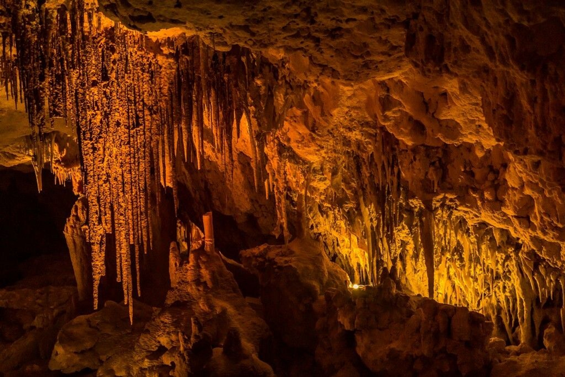
These caves are estimated to be around 500 million years old, formed from ancient petrified sand dunes. Today, Kelly Hill Caves offer a fascinating glimpse into Kangaroo Island’s subterranean world, with guided tours revealing impressive limestone formations and fossilised history.
Along the coastline, Admirals Arch is another dramatic example of limestone erosion. This natural sea arch was formed at the junction between soft dune limestone and much harder Cambrian rock. Constant wave action gradually sculpted the arch you see today. Set against a backdrop of crashing waves and with a resident New Zealand fur seal colony often lounging nearby, it’s one of the most iconic sights in Flinders Chase National Park.
Whether underground or on the coast, these natural formations tell the story of time, water, and wind — and offer unforgettable highlights for those exploring Kangaroo Island.
Wisanger Hills: A Window Into Kangaroo Island’s Volcanic Past
Rising modestly yet distinctly above the surrounding landscape near Emu Bay, the Wisanger Hills are one of Kangaroo Island’s lesser-known geological gems. These flat-topped formations, reaching around 35 metres in height, are an exceptional example of mesa landforms — their tabletop appearance a result of ancient volcanic activity.
Unlike many of the island’s iconic granite and limestone features, the Wisanger Hills are composed of igneous basalt rock. These Jurassic-era basalts — over 170 million years old — originated during a period of intense geological upheaval, when lava flowed along ancient river channels on the earth’s surface. As the softer sediments around them gradually eroded away over millions of years, these durable lava flows were left perched high above the plateau, creating the striking landforms we see today.
The Wisanger Hills were formed during the breakup of the supercontinent Gondwana, specifically when Australia and Antarctica began to separate. The volcanic activity and rifting that occurred during this time dramatically shaped this part of Kangaroo Island.
Visitors driving along Gap Road will enjoy a scenic route that winds through the only break in the Wisanger Hills, offering a unique opportunity to observe this remarkable geological feature from both the northern and southern viewpoints. It’s a fascinating drive that reveals just how dynamic and ancient Kangaroo Island’s landscape truly is.
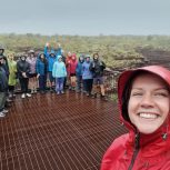
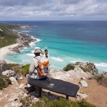
Ready to explore Kangaroo Island on foot?
Join one of our small-group, guided walking tours and experience the island’s rich geological history, stunning landscapes, and unique wildlife up close. Whether you’re hiking coastal cliffs, wandering ancient dunes, or discovering hidden caves, our tours take the hassle out of planning so you can simply enjoy the journey.
View Kangaroo Island Walking Tours or get in touch with our team to book your adventure.
Want to Dig Deeper into Kangaroo Island’s Geology?
This article offers just a taste of the fascinating geological history that has shaped Kangaroo Island. For travellers and geology enthusiasts keen to explore further, there are several detailed resources and maps available that uncover more about the island’s dramatic coastal cliffs, volcanic mesas, fossil beds, and ancient seabeds.
Recommended resources:
• Coastal Landscapes of South Australia by Robert P. Bourman, Colin V. Murray-Wallace and Nick Harvey (University of Adelaide Press, 2016)
• A guide to the geology of Kangaroo Island (PDF)
• Interactive geology map of Kangaroo Island
I’ve spent over a decade leading tours across Europe, and now I manage more than 100 departures a year across South Australia and Victoria. Helping travellers connect with Australia’s landscapes — and supporting the guides who bring them to life — is what I do best.