Cape to Cape Track – Cape Naturaliste to Yallingup
Cape to Cape Track – Cape Naturaliste to Yallingup
Posted on
The Cape to Cape Track in Western Australia’s Southwest is a remarkable walk. At 135 km it is comfortably walked over seven days and includes a great variety of scenery.
For those contemplating doing all or part of the walk, we have a section by section guide to share the wonders of one of Australia’s best walking trails.
Cape to Cape Track Day One: Cape Naturaliste to Yallingup
Length: 14 km
Time: Approx 4 – 6 hours depending on how many photos you stop to take.
Terrain: Easy
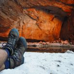
Description: The Cape to Cape Track begins at the trail head just outside the Cape Naturaliste Light house grounds. The first 3 km is all on board walk and gently slopes down to Sugar Loaf Rock. There are beautiful wildflowers through this section in spring and wonderful views year round.
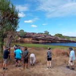
Shortly after crossing Sugar Loaf Road, the trail leaves the formed path off to the left. If you want to continue down to get a good look at Sugar Loaf Rock, you can continue down to the look out. There are toilets there as well.
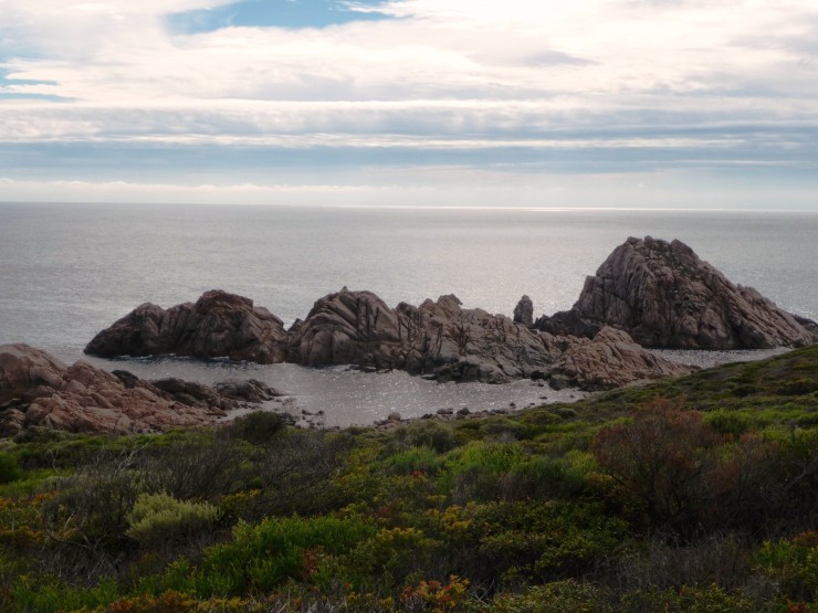
As you round the head land you will be able to see Yallingup in the distance nestled into the bay. The track follows the cliff tops on a narrow trail and is a little sandy under foot, but very easy. There is a good possibility of seeing dolphins so keep an eye out.
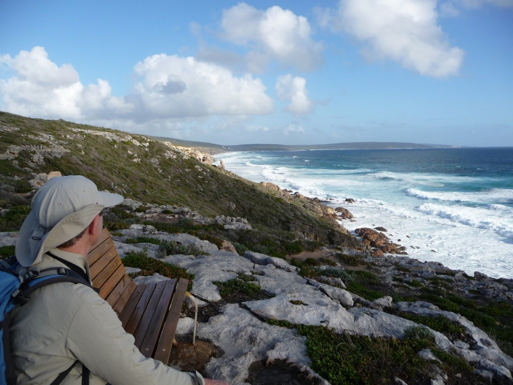
Soon you will arrive at Bear’s surf break. The trail passes below the car park, however there is a toilet if you make a short diversion up to the car park. There is also lookout which is a great place to rest.
After a break, the trail goes down onto the beach for 400m or so. This is often soft, but it is quite short. Careful of waves coming up the beach!
Before you get to the end of the beach, the trail goes up into the dunes. This is a steep dune which can be challenging to find. Often the trail marker is covered in sand. If you are aware of what your are looking for it is easy enough though.
The Cape to Cape track then follows the cliff lines again for a few more kilometres before heading inland on a 4wd track. This section can be a bit hot and dusty depending on the weather but it is still pleasant. At the 11km mark you will come across the Mt Duckworth campsite in a grove of Ti Trees. Another great rest spot. There is a toilet here was well as well as bench seats.
From Mt Duckworth it is only about 1 hour to Yallingup. It is easy walking however you do need to drop down onto the beach for the last 500 metres or so. This can be a challenge if you tired! Any of the beach access at Yallingup will lead you up to the car park which is the end of the days walk.

So there you have a bit of a guide to the first days walk on the Cape to Cape track.
If you are interested to learn more about walking the Cape to Cape track, visit our guided and self guided tour pages.
For more photos from our Cape to Cape Track walking tours, please visit our Flickr page.